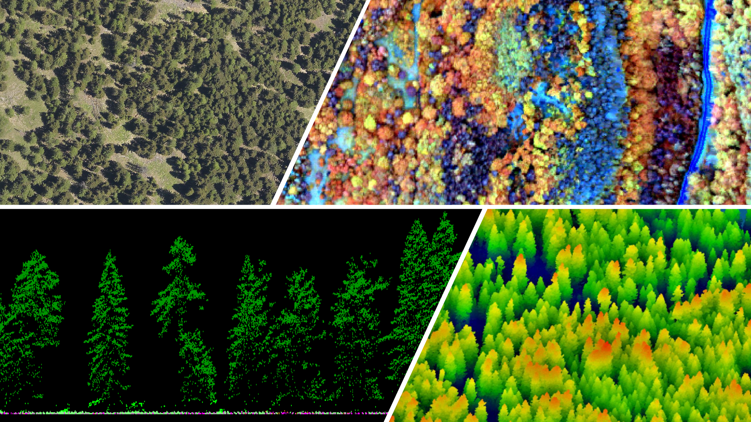
We use of remote sensing data to estimate plant traits of forest and grassland vegetation. Activities range from leaf scale to regional scale, combining ground-based measurements with aerial and satellite platform data.
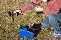
Spectroradiometer with spectral range 350-2500 nm for ground reflectance, radiance and irradiance measurements of vegetation.
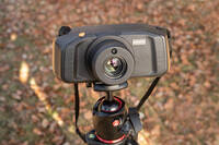
Camera iperspettrale SPECIM IQ
VNIR hyperspectral camera (400-1000 nm; 512x512 pixel) for ground reflectance and radiance measurements of the vegetation cover.
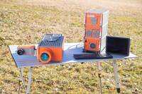
SPECIM Dual Camera System (IBIS + FX10)
Dual Camera System for high resolution measurements (on the ground and from an aerial platform), for the remote estimation of the photosynthetic activity of natural ecosystems.
Services
Upscaling
Consultancy on research activities concerning the development and use of specific indicators from aerial and satellite platforms for the estimation of plant traits.
Ground truthing
Support to research projects aimed at the calibration and in-situ validation of models for estimating plant traits of natural ecosystems.
Applications
Forests and climate change
Model parameterization of climate change effects on forests using remote sensing data.
Forest and grassland ecology
Algorithm development for plant traits retrieval with remote sensing data.
Forest management
Remote detection of forest biomass, health and disturbances.
This Unit studies the interactions between forests and their biotic and abiotic environment in a context of global changes and feedbacks between vegetation, biodiversity and climate.